 vesseltracker.com
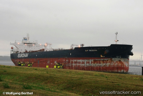
Vessel Cap Theodora IMO: 9380740, MMSI: 240840000 Crude Oil Tanker
UTC, 45.80102, -59.20022, course: 230, speed: 12.8
UTC, 45.51370, -59.65058, course: 231, speed: 13.1
2026-02-26 19:40:04 UTC, 45.25308, -60.05680, course: 227, speed: 12.8
Live AIS position:
UTC. 34 nm SE of Grand River),
updated 2026-02-26 19:40:04 UTC.
Find the position of the vessel Cap Theodora on the map. The latter are known coordinates and path.
marine traffic ship tracker show on live map
The current position of vessel Cap Theodora is 45.25308 lat / -60.05680 lng. Updated: 2026-02-26 19:40:04 UTCDetails:
Last coordinates of the vessel:
UTC, 46.09822, -59.06755, course: -1, speed: 14.3UTC, 45.80102, -59.20022, course: 230, speed: 12.8
UTC, 45.51370, -59.65058, course: 231, speed: 13.1
2026-02-26 19:40:04 UTC, 45.25308, -60.05680, course: 227, speed: 12.8