 vesseltracker.com
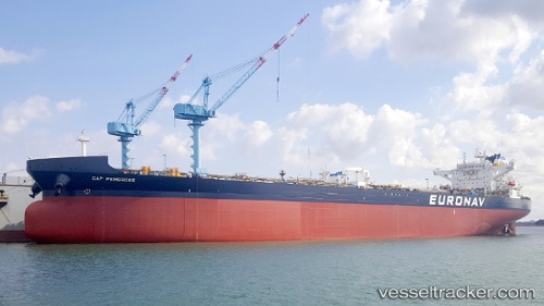
Vessel Cap Pembroke IMO: 9817119, MMSI: 241592000 Crude Oil Tanker
UTC, 41.75730, -62.01502, course: 205, speed: 8.3
UTC, 27.81842, -97.20942, course: 21, speed: 0
2026-01-22 11:37:23 UTC, 27.81840, -97.20946, course: 21, speed: 0
Live AIS position:
UTC. Near ARANSAS PASS),
updated 2026-01-22 11:37:23 UTC.
Find the position of the vessel Cap Pembroke on the map. The latter are known coordinates and path.
marine traffic ship tracker show on live map
The current position of vessel Cap Pembroke is 27.81840 lat / -97.20946 lng. Updated: 2026-01-22 11:37:23 UTCDetails:
Last coordinates of the vessel:
UTC, 41.82323, -61.99890, course: 198, speed: 8.8UTC, 41.75730, -62.01502, course: 205, speed: 8.3
UTC, 27.81842, -97.20942, course: 21, speed: 0
2026-01-22 11:37:23 UTC, 27.81840, -97.20946, course: 21, speed: 0