 vesseltracker.com
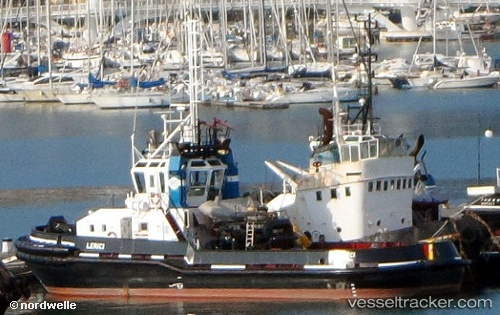
Vessel TENSIFT IMO: 9163946, MMSI: 242004400 Tug
UTC, 32.17110, -9.26896, course: -1, speed: 0.1
UTC, 32.17106, -9.26900, course: -1, speed: 0
2026-02-27 00:08:04 UTC, 32.17106, -9.26900, course: -1, speed: 0
Live AIS position:
UTC. Near Nouveau Port Safi, Sidi Boudenyan),
updated 2026-02-27 00:08:04 UTC.
Find the position of the vessel TENSIFT on the map. The latter are known coordinates and path.
marine traffic ship tracker show on live map
The current position of vessel TENSIFT is 32.17106 lat / -9.26900 lng. Updated: 2026-02-27 00:08:04 UTCCurrently sailing under the flag of Morocco
TENSIFT built in 1998 year
Deadweight:
180 tDetails:
Last coordinates of the vessel:
UTC, 32.17108, -9.26896, course: -1, speed: 0UTC, 32.17110, -9.26896, course: -1, speed: 0.1
UTC, 32.17106, -9.26900, course: -1, speed: 0
2026-02-27 00:08:04 UTC, 32.17106, -9.26900, course: -1, speed: 0