 vesseltracker.com
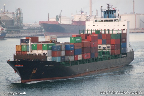
Vessel TANGER A IMO: 9330939, MMSI: 242496400 Container Ship
UTC, 33.61189, -7.59776, course: 330, speed: 0
UTC, 33.61167, -7.59667, course: -1, speed: 0
2026-03-02 00:07:43 UTC, 33.61167, -7.59667, course: -1, speed: 0
Live AIS position:
UTC. Near Casablanca),
updated 2026-03-02 00:07:43 UTC.
Find the position of the vessel TANGER A on the map. The latter are known coordinates and path.
marine traffic ship tracker show on live map
The current position of vessel TANGER A is 33.61167 lat / -7.59667 lng. Updated: 2026-03-02 00:07:43 UTCCurrently sailing under the flag of Morocco
Details:
Last coordinates of the vessel:
UTC, 33.61188, -7.59776, course: 331, speed: 0UTC, 33.61189, -7.59776, course: 330, speed: 0
UTC, 33.61167, -7.59667, course: -1, speed: 0
2026-03-02 00:07:43 UTC, 33.61167, -7.59667, course: -1, speed: 0