 vesseltracker.com
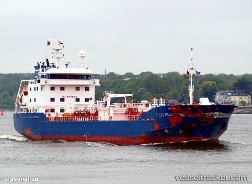
Vessel Stella Virgo IMO: 9265249, MMSI: 244267000 Chemical Tanker
UTC, 54.61910, 12.40126, course: 56, speed: 10.8
UTC, 54.76529, 13.02256, course: 93, speed: 10.7
2026-02-05 23:58:18 UTC, 54.71369, 13.74750, course: 108, speed: 11.3
Live AIS position:
UTC. 13 nm NE of Glowe),
updated 2026-02-05 23:58:18 UTC.
Find the position of the vessel Stella Virgo on the map. The latter are known coordinates and path.
marine traffic ship tracker show on live map
The current position of vessel Stella Virgo is 54.71369 lat / 13.74750 lng. Updated: 2026-02-05 23:58:18 UTCCurrently sailing under the flag of Netherlands
Stella Virgo built in 2003 year
Deadweight:
4999 tDetails:
Last coordinates of the vessel:
UTC, 54.40819, 12.06013, course: 92, speed: 11.8UTC, 54.61910, 12.40126, course: 56, speed: 10.8
UTC, 54.76529, 13.02256, course: 93, speed: 10.7
2026-02-05 23:58:18 UTC, 54.71369, 13.74750, course: 108, speed: 11.3