 vesseltracker.com
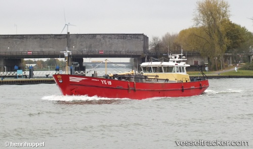
Vessel Ye 19 Johanna k IMO: 9129988, MMSI: 244368000 Fishing Vessel
UTC, 51.50941, 4.14909, course: 57, speed: 2.7
UTC, 51.48354, 4.05764, course: 18, speed: 0
2026-02-16 11:56:17 UTC, 51.54427, 4.03824, course: 166, speed: 3.1
Live AIS position:
UTC. Near Sint Maartensdijk),
updated 2026-02-16 11:56:17 UTC.
Find the position of the vessel Ye 19 Johanna k on the map. The latter are known coordinates and path.
marine traffic ship tracker show on live map
The current position of vessel Ye 19 Johanna k is 51.54427 lat / 4.03824 lng. Updated: 2026-02-16 11:56:17 UTCCurrently sailing under the flag of Netherlands
Ye 19 Johanna k built in 1995 year
Details:
Last coordinates of the vessel:
UTC, 51.50018, 4.05396, course: 263, speed: 0UTC, 51.50941, 4.14909, course: 57, speed: 2.7
UTC, 51.48354, 4.05764, course: 18, speed: 0
2026-02-16 11:56:17 UTC, 51.54427, 4.03824, course: 166, speed: 3.1