 vesseltracker.com
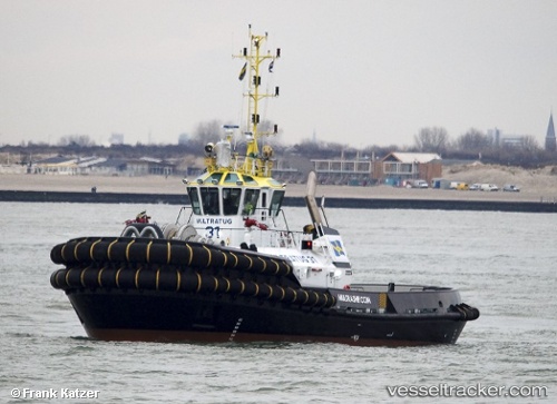
Vessel Multratug 31 IMO: 9695614, MMSI: 244870671 Tug
UTC, 25.46988, 55.50668, course: -1, speed: 0
UTC, 25.46988, 55.50668, course: -1, speed: 0
2026-02-02 12:32:40 UTC, 25.46988, 55.50668, course: -1, speed: 0
Live AIS position:
UTC. Near Al Hamriyah),
updated 2026-02-02 12:32:40 UTC.
Find the position of the vessel Multratug 31 on the map. The latter are known coordinates and path.
marine traffic ship tracker show on live map
The current position of vessel Multratug 31 is 25.46988 lat / 55.50668 lng. Updated: 2026-02-02 12:32:40 UTCCurrently sailing under the flag of Netherlands
Details:
Last coordinates of the vessel:
UTC, 25.46986, 55.50673, course: -1, speed: 0UTC, 25.46988, 55.50668, course: -1, speed: 0
UTC, 25.46988, 55.50668, course: -1, speed: 0
2026-02-02 12:32:40 UTC, 25.46988, 55.50668, course: -1, speed: 0