 vesseltracker.com
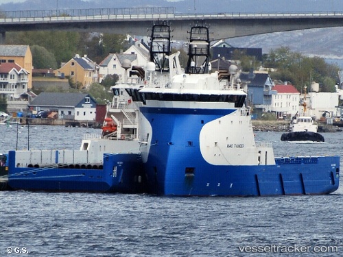
Vessel KINGSBORG IMO: 9665102, MMSI: 246358000 Offshore Supply Ship
UTC, 53.19235, 1.46541, course: 187, speed: 4.1
UTC, 53.10833, 1.46500, course: -1, speed: 4
2026-02-26 06:23:51 UTC, 52.97548, 1.46292, course: -1, speed: 3.9
Live AIS position:
UTC. Near Cromer),
updated 2026-02-26 06:23:51 UTC.
Find the position of the vessel KINGSBORG on the map. The latter are known coordinates and path.
marine traffic ship tracker show on live map
The current position of vessel KINGSBORG is 52.97548 lat / 1.46292 lng. Updated: 2026-02-26 06:23:51 UTCCurrently sailing under the flag of Netherlands
Details:
Last coordinates of the vessel:
UTC, 53.32295, 1.42312, course: 172, speed: 4.5UTC, 53.19235, 1.46541, course: 187, speed: 4.1
UTC, 53.10833, 1.46500, course: -1, speed: 4
2026-02-26 06:23:51 UTC, 52.97548, 1.46292, course: -1, speed: 3.9