 vesseltracker.com
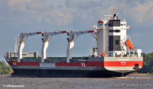
Vessel Andesborg IMO: 9466324, MMSI: 246797000 General Cargo Ship
UTC, 43.17122, -65.64003, course: 237, speed: 9.9
UTC, 43.00021, -65.90125, course: 233, speed: 10.2
2026-02-27 02:14:08 UTC, 42.59357, -66.30253, course: 213, speed: 10.9
Live AIS position:
UTC. 59 nm SW of CLARK'S HARBOUR),
updated 2026-02-27 02:14:08 UTC.
Find the position of the vessel Andesborg on the map. The latter are known coordinates and path.
marine traffic ship tracker show on live map
The current position of vessel Andesborg is 42.59357 lat / -66.30253 lng. Updated: 2026-02-27 02:14:08 UTCCurrently sailing under the flag of Netherlands
Andesborg built in 2011 year
Deadweight:
17294 tDetails:
Last coordinates of the vessel:
UTC, 43.38235, -65.26334, course: 234, speed: 10.3UTC, 43.17122, -65.64003, course: 237, speed: 9.9
UTC, 43.00021, -65.90125, course: 233, speed: 10.2
2026-02-27 02:14:08 UTC, 42.59357, -66.30253, course: 213, speed: 10.9