 vesseltracker.com
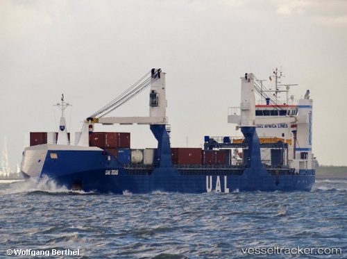
Vessel Ual Texas IMO: 9542350, MMSI: 246876000 General Cargo Ship
UTC, 23.64903, -95.14948, course: 182, speed: 13.1
UTC, 23.09646, -95.25487, course: 188, speed: 12.8
2026-01-31 13:50:17 UTC, 22.65768, -95.34391, course: 189, speed: 12.6
Live AIS position:
UTC. 99 nm E of Tampico),
updated 2026-01-31 13:50:17 UTC.
Find the position of the vessel Ual Texas on the map. The latter are known coordinates and path.
marine traffic ship tracker show on live map
The current position of vessel Ual Texas is 22.65768 lat / -95.34391 lng. Updated: 2026-01-31 13:50:17 UTCDetails:
Last coordinates of the vessel:
UTC, 23.87500, -95.10843, course: 189, speed: 13.4UTC, 23.64903, -95.14948, course: 182, speed: 13.1
UTC, 23.09646, -95.25487, course: 188, speed: 12.8
2026-01-31 13:50:17 UTC, 22.65768, -95.34391, course: 189, speed: 12.6