 vesseltracker.com
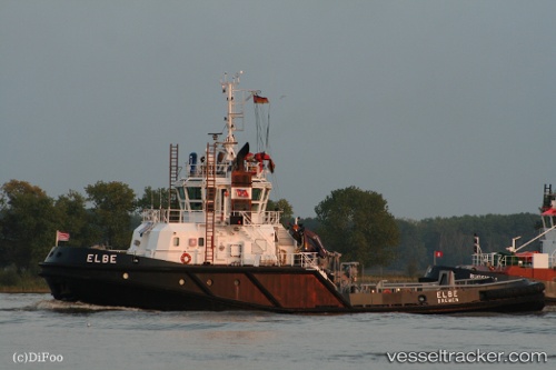
Vessel Elma C IMO: 9323156, MMSI: 247375100 Tug
UTC, 45.46819, 12.26171, course: 91, speed: 0
UTC, 45.46814, 12.26166, course: 89, speed: 0
2026-02-10 15:24:48 UTC, 45.46816, 12.26176, course: 89, speed: 0
Live AIS position:
UTC. Near Mestre),
updated 2026-02-10 15:24:48 UTC.
Find the position of the vessel Elma C on the map. The latter are known coordinates and path.
marine traffic ship tracker show on live map
The current position of vessel Elma C is 45.46816 lat / 12.26176 lng. Updated: 2026-02-10 15:24:48 UTCCurrently sailing under the flag of Italy
Elma C built in 2006 year
Deadweight:
242 tDetails:
Last coordinates of the vessel:
UTC, 45.46817, 12.26172, course: 93, speed: 0UTC, 45.46819, 12.26171, course: 91, speed: 0
UTC, 45.46814, 12.26166, course: 89, speed: 0
2026-02-10 15:24:48 UTC, 45.46816, 12.26176, course: 89, speed: 0