 vesseltracker.com
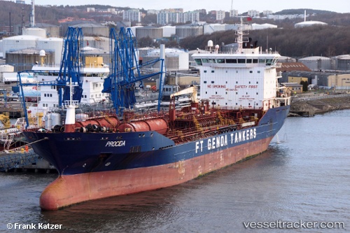
Vessel ERICUSA M IMO: 9367372, MMSI: 247433300 Chemical/Oil Products Tanker
UTC, 50.96373, 1.49635, course: 46, speed: 11.8
UTC, 51.10383, 1.75748, course: 52, speed: 13.1
2026-02-28 22:09:15 UTC, 51.48853, 2.23847, course: 41, speed: 12.4
Live AIS position:
UTC. 22 nm SE of Krieschow),
updated 2026-02-28 22:09:15 UTC.
Find the position of the vessel ERICUSA M on the map. The latter are known coordinates and path.
marine traffic ship tracker show on live map
The current position of vessel ERICUSA M is 51.48853 lat / 2.23847 lng. Updated: 2026-02-28 22:09:15 UTCCurrently sailing under the flag of Italy
ERICUSA M built in 2009 year
Deadweight:
17999 tDetails:
Last coordinates of the vessel:
UTC, 50.56425, 1.10762, course: 53, speed: 11.7UTC, 50.96373, 1.49635, course: 46, speed: 11.8
UTC, 51.10383, 1.75748, course: 52, speed: 13.1
2026-02-28 22:09:15 UTC, 51.48853, 2.23847, course: 41, speed: 12.4