 vesseltracker.com
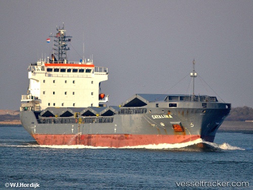
Vessel SEVEN AMARANTA IMO: 9306445, MMSI: 247482900 General Cargo
UTC, 38.33385, -0.49369, course: -1, speed: 0
UTC, 38.33386, -0.49371, course: -1, speed: 0
2026-02-27 19:51:18 UTC, 38.33386, -0.49372, course: 272, speed: 0
Live AIS position:
UTC. Near San Vicente del Raspeig),
updated 2026-02-27 19:51:18 UTC.
Find the position of the vessel SEVEN AMARANTA on the map. The latter are known coordinates and path.
marine traffic ship tracker show on live map
The current position of vessel SEVEN AMARANTA is 38.33386 lat / -0.49372 lng. Updated: 2026-02-27 19:51:18 UTCCurrently sailing under the flag of Italy
Details:
Last coordinates of the vessel:
UTC, 38.33385, -0.49371, course: -1, speed: 0UTC, 38.33385, -0.49369, course: -1, speed: 0
UTC, 38.33386, -0.49371, course: -1, speed: 0
2026-02-27 19:51:18 UTC, 38.33386, -0.49372, course: 272, speed: 0