 vesseltracker.com
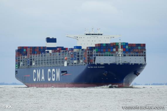
Vessel Cmacgm Louis Bleriot IMO: 9776432, MMSI: 248794000 Container Ship
UTC, 1.25957, 103.78857, course: 31, speed: 0.1
UTC, 1.25959, 103.78858, course: 31, speed: 0.1
2026-02-21 19:32:14 UTC, 1.25959, 103.78858, course: 31, speed: 0
Live AIS position:
UTC. Near Pasir Panjang Wharves),
updated 2026-02-21 19:32:14 UTC.
Find the position of the vessel Cmacgm Louis Bleriot on the map. The latter are known coordinates and path.
marine traffic ship tracker show on live map
The current position of vessel Cmacgm Louis Bleriot is 1.25959 lat / 103.78858 lng. Updated: 2026-02-21 19:32:14 UTCCurrently sailing under the flag of Malta
Details:
Last coordinates of the vessel:
UTC, 1.25959, 103.78858, course: 31, speed: 0.1UTC, 1.25957, 103.78857, course: 31, speed: 0.1
UTC, 1.25959, 103.78858, course: 31, speed: 0.1
2026-02-21 19:32:14 UTC, 1.25959, 103.78858, course: 31, speed: 0