 vesseltracker.com
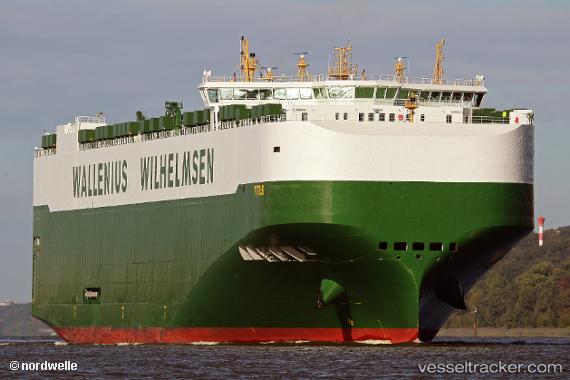
Vessel Titus IMO: 9700512, MMSI: 249011000 Vehicles Carrier
UTC, 29.27168, 124.11102, course: 237, speed: 15.1
UTC, 28.93166, 124.00333, course: -1, speed: 15
2026-02-01 17:38:24 UTC, 28.45524, 123.67698, course: 188, speed: 16.1
Live AIS position:
UTC. 89 nm E of Wenling Longmen Port),
updated 2026-02-01 17:38:24 UTC.
Find the position of the vessel Titus on the map. The latter are known coordinates and path.
marine traffic ship tracker show on live map
The current position of vessel Titus is 28.45524 lat / 123.67698 lng. Updated: 2026-02-01 17:38:24 UTCCurrently sailing under the flag of Malta
Details:
Last coordinates of the vessel:
UTC, 29.71048, 124.64350, course: 225, speed: 15.6UTC, 29.27168, 124.11102, course: 237, speed: 15.1
UTC, 28.93166, 124.00333, course: -1, speed: 15
2026-02-01 17:38:24 UTC, 28.45524, 123.67698, course: 188, speed: 16.1