 vesseltracker.com
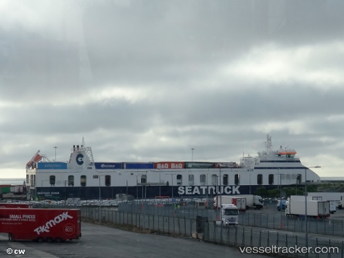
Vessel POWER IMO: 9506215, MMSI: 249176000 Ro-Ro Cargo
UTC, 53.33836, -6.10483, course: 121, speed: 15.4
UTC, 53.52608, -5.34086, course: 71, speed: 13.9
2026-02-23 15:23:45 UTC, 53.61234, -4.96146, course: 69, speed: 12.8
Live AIS position:
UTC. 15 nm W of Chwilog),
updated 2026-02-23 15:23:45 UTC.
Find the position of the vessel POWER on the map. The latter are known coordinates and path.
marine traffic ship tracker show on live map
The current position of vessel POWER is 53.61234 lat / -4.96146 lng. Updated: 2026-02-23 15:23:45 UTCCurrently sailing under the flag of Malta
Details:
Last coordinates of the vessel:
UTC, 53.34681, -6.19275, course: 182, speed: 0UTC, 53.33836, -6.10483, course: 121, speed: 15.4
UTC, 53.52608, -5.34086, course: 71, speed: 13.9
2026-02-23 15:23:45 UTC, 53.61234, -4.96146, course: 69, speed: 12.8