 vesseltracker.com
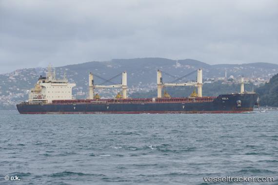
Vessel NICOS TOMASOS IMO: 9698800, MMSI: 249214000 Cargo
UTC, 40.68472, -74.13944, course: 214, speed: 0
UTC, 40.68475, -74.13946, course: 214, speed: 0.1
2026-02-27 19:38:52 UTC, 40.68474, -74.13945, course: 214, speed: 0
Live AIS position:
UTC. Near Newark),
updated 2026-02-27 19:38:52 UTC.
Find the position of the vessel NICOS TOMASOS on the map. The latter are known coordinates and path.
marine traffic ship tracker show on live map
The current position of vessel NICOS TOMASOS is 40.68474 lat / -74.13945 lng. Updated: 2026-02-27 19:38:52 UTCCurrently sailing under the flag of Malta
Details:
Last coordinates of the vessel:
UTC, 40.68472, -74.13942, course: -1, speed: 0UTC, 40.68472, -74.13944, course: 214, speed: 0
UTC, 40.68475, -74.13946, course: 214, speed: 0.1
2026-02-27 19:38:52 UTC, 40.68474, -74.13945, course: 214, speed: 0