 vesseltracker.com
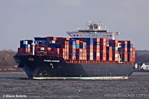
Vessel NAVARINO IMO: 9400289, MMSI: 249346000 Container Ship
UTC, 36.05942, 121.08050, course: 190, speed: 0
UTC, 36.05928, 121.08082, course: 202, speed: 0
2026-02-27 11:28:30 UTC, 36.02270, 121.00830, course: 249, speed: 7.7
Live AIS position:
UTC. 23 nm S of Nudao),
updated 2026-02-27 11:28:30 UTC.
Find the position of the vessel NAVARINO on the map. The latter are known coordinates and path.
marine traffic ship tracker show on live map
The current position of vessel NAVARINO is 36.02270 lat / 121.00830 lng. Updated: 2026-02-27 11:28:30 UTCCurrently sailing under the flag of Malta
Details:
Last coordinates of the vessel:
UTC, 36.05682, 121.07685, course: 81, speed: 0UTC, 36.05942, 121.08050, course: 190, speed: 0
UTC, 36.05928, 121.08082, course: 202, speed: 0
2026-02-27 11:28:30 UTC, 36.02270, 121.00830, course: 249, speed: 7.7