 vesseltracker.com
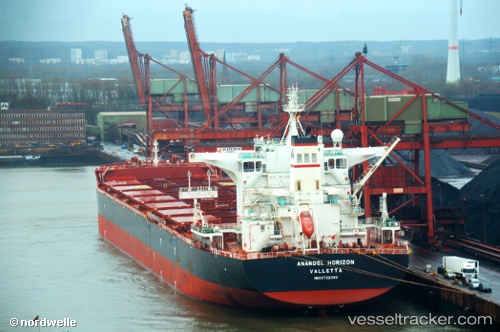
Vessel Anangel Horizon IMO: 9702699, MMSI: 249489000 Bulk Carrier
UTC, -24.11833, 51.87500, course: -1, speed: 11
UTC, -24.28500, 51.55500, course: -1, speed: 12
2026-02-22 13:30:27 UTC, -24.48167, 51.20167, course: -1, speed: 12
Live AIS position:
UTC. 224 nm SE of Manakara),
updated 2026-02-22 13:30:27 UTC.
Find the position of the vessel Anangel Horizon on the map. The latter are known coordinates and path.
marine traffic ship tracker show on live map
The current position of vessel Anangel Horizon is -24.48167 lat / 51.20167 lng. Updated: 2026-02-22 13:30:27 UTCCurrently sailing under the flag of Malta
Details:
Last coordinates of the vessel:
UTC, -23.87167, 52.33833, course: -1, speed: 11UTC, -24.11833, 51.87500, course: -1, speed: 11
UTC, -24.28500, 51.55500, course: -1, speed: 12
2026-02-22 13:30:27 UTC, -24.48167, 51.20167, course: -1, speed: 12