 vesseltracker.com
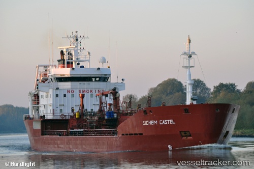
Vessel M/T YIGIT IMO: 9007104, MMSI: 249569000 Oil/Chemical Tanker
UTC, 35.47591, 129.40378, course: -1, speed: 0
UTC, 35.47589, 129.40382, course: 269, speed: 0
2026-02-28 23:44:56 UTC, 35.47590, 129.40382, course: -1, speed: 0
Live AIS position:
UTC. Near Ulsan),
updated 2026-02-28 23:44:56 UTC.
Find the position of the vessel M/T YIGIT on the map. The latter are known coordinates and path.
marine traffic ship tracker show on live map
The current position of vessel M/T YIGIT is 35.47590 lat / 129.40382 lng. Updated: 2026-02-28 23:44:56 UTCCurrently sailing under the flag of Malta
Details:
Last coordinates of the vessel:
UTC, 35.47591, 129.40384, course: -1, speed: 0UTC, 35.47591, 129.40378, course: -1, speed: 0
UTC, 35.47589, 129.40382, course: 269, speed: 0
2026-02-28 23:44:56 UTC, 35.47590, 129.40382, course: -1, speed: 0