 vesseltracker.com
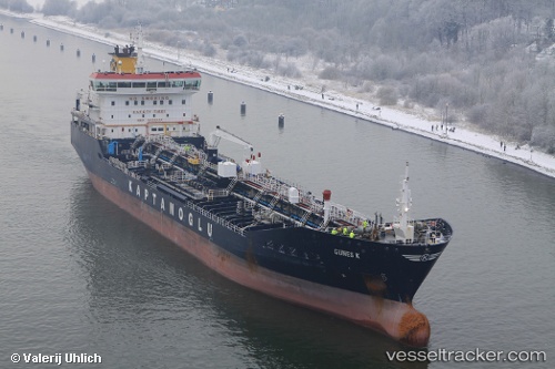
Vessel GUNES K IMO: 9479553, MMSI: 249672000 Oil/Chemical Tanker
UTC, 22.26175, 60.47238, course: 358, speed: 11.1
UTC, 22.64413, 60.27058, course: -1, speed: 11.6
2026-02-28 07:51:14 UTC, 22.95237, 60.09543, course: 331, speed: 11
Live AIS position:
UTC. 39 nm NE of SUR),
updated 2026-02-28 07:51:14 UTC.
Find the position of the vessel GUNES K on the map. The latter are known coordinates and path.
marine traffic ship tracker show on live map
The current position of vessel GUNES K is 22.95237 lat / 60.09543 lng. Updated: 2026-02-28 07:51:14 UTCCurrently sailing under the flag of Malta
Details:
Last coordinates of the vessel:
UTC, 21.91796, 60.49592, course: 359, speed: 11.3UTC, 22.26175, 60.47238, course: 358, speed: 11.1
UTC, 22.64413, 60.27058, course: -1, speed: 11.6
2026-02-28 07:51:14 UTC, 22.95237, 60.09543, course: 331, speed: 11