 vesseltracker.com
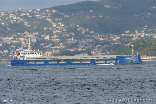
Vessel Kiowa IMO: 9788095, MMSI: 249710000 General Cargo Ship
UTC, 30.72241, 123.86184, course: -1, speed: 10.4
UTC, 31.02232, 123.68482, course: -1, speed: 11.1
2026-02-28 23:43:13 UTC, 31.39724, 123.59511, course: -1, speed: 11.1
Live AIS position:
UTC. 61 nm NE of Lü-hua Shan),
updated 2026-02-28 23:43:13 UTC.
Find the position of the vessel Kiowa on the map. The latter are known coordinates and path.
marine traffic ship tracker show on live map
The current position of vessel Kiowa is 31.39724 lat / 123.59511 lng. Updated: 2026-02-28 23:43:13 UTCCurrently sailing under the flag of Malta
Details:
Last coordinates of the vessel:
UTC, 30.40187, 123.97024, course: 344, speed: 9UTC, 30.72241, 123.86184, course: -1, speed: 10.4
UTC, 31.02232, 123.68482, course: -1, speed: 11.1
2026-02-28 23:43:13 UTC, 31.39724, 123.59511, course: -1, speed: 11.1