 vesseltracker.com
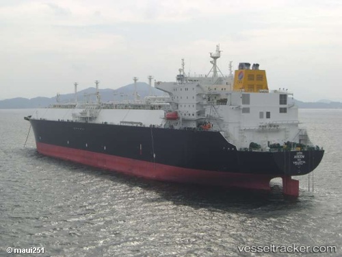
Vessel Aseem IMO: 9377547, MMSI: 249780000 Lng Tanker
UTC, 12.30243, 72.62445, course: 135, speed: 18
UTC, 11.85150, 73.09223, course: 135, speed: 18.6
2026-02-03 11:11:32 UTC, 11.55350, 73.43212, course: 132, speed: 18.6
Live AIS position:
UTC. 49 nm NE of Amini Island),
updated 2026-02-03 11:11:32 UTC.
Find the position of the vessel Aseem on the map. The latter are known coordinates and path.
marine traffic ship tracker show on live map
The current position of vessel Aseem is 11.55350 lat / 73.43212 lng. Updated: 2026-02-03 11:11:32 UTCDetails:
Last coordinates of the vessel:
UTC, 12.55875, 72.32263, course: 124, speed: 17.8UTC, 12.30243, 72.62445, course: 135, speed: 18
UTC, 11.85150, 73.09223, course: 135, speed: 18.6
2026-02-03 11:11:32 UTC, 11.55350, 73.43212, course: 132, speed: 18.6