 vesseltracker.com
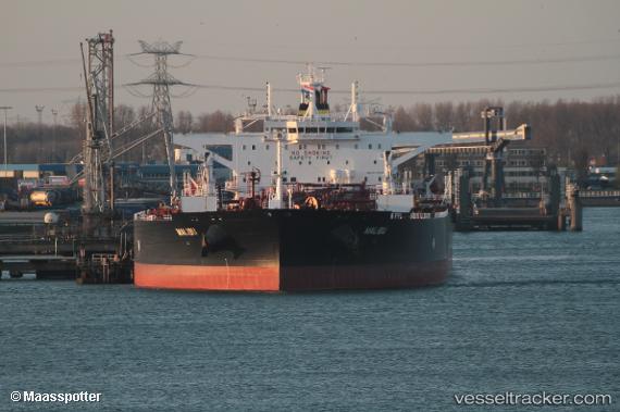
Vessel Malibu IMO: 9776731, MMSI: 249811000 Crude Oil Tanker
UTC, 43.74346, 13.52411, course: 293, speed: 0
UTC, 43.74238, 13.52288, course: 320, speed: 0
2026-01-25 13:37:18 UTC, 43.74181, 13.52079, course: 353, speed: 0.1
Live AIS position:
UTC. Near Ancona),
updated 2026-01-25 13:37:18 UTC.
Find the position of the vessel Malibu on the map. The latter are known coordinates and path.
marine traffic ship tracker show on live map
The current position of vessel Malibu is 43.74181 lat / 13.52079 lng. Updated: 2026-01-25 13:37:18 UTCDetails:
Last coordinates of the vessel:
UTC, 43.74374, 13.52426, course: 289, speed: 0UTC, 43.74346, 13.52411, course: 293, speed: 0
UTC, 43.74238, 13.52288, course: 320, speed: 0
2026-01-25 13:37:18 UTC, 43.74181, 13.52079, course: 353, speed: 0.1