 vesseltracker.com
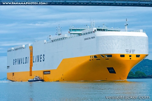
Vessel GRANDE BALTIMORA IMO: 9784037, MMSI: 249850000 Cargo
UTC, 36.43117, -2.21558, course: -1, speed: 18.8
UTC, 36.40487, -2.81483, course: 301, speed: 3.6
2026-02-27 11:23:19 UTC, 36.41589, -2.84630, course: 355, speed: 1.8
Live AIS position:
UTC. 21 nm S of Las Noras de Daza),
updated 2026-02-27 11:23:19 UTC.
Find the position of the vessel GRANDE BALTIMORA on the map. The latter are known coordinates and path.
marine traffic ship tracker show on live map
The current position of vessel GRANDE BALTIMORA is 36.41589 lat / -2.84630 lng. Updated: 2026-02-27 11:23:19 UTCCurrently sailing under the flag of Malta
Details:
Last coordinates of the vessel:
UTC, 36.85521, -1.58610, course: -1, speed: 18.5UTC, 36.43117, -2.21558, course: -1, speed: 18.8
UTC, 36.40487, -2.81483, course: 301, speed: 3.6
2026-02-27 11:23:19 UTC, 36.41589, -2.84630, course: 355, speed: 1.8