 vesseltracker.com
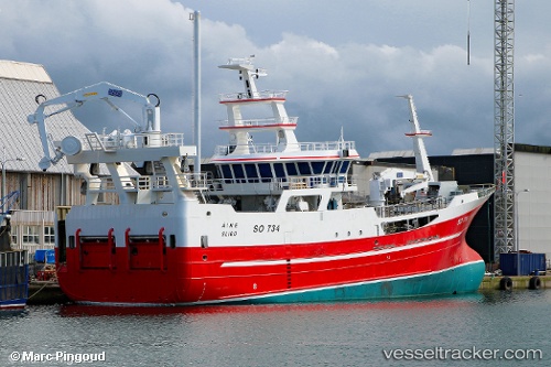
Vessel Aine IMO: 9794886, MMSI: 250004765 Fishing Vessel
UTC, 57.59554, -6.69778, course: 33, speed: 10.7
UTC, 57.97052, -6.20298, course: 18, speed: 10.7
2026-01-30 17:28:14 UTC, 58.14453, -6.11235, course: 10, speed: 10.2
Live AIS position:
UTC. Near Garrabost),
updated 2026-01-30 17:28:14 UTC.
Find the position of the vessel Aine on the map. The latter are known coordinates and path.
marine traffic ship tracker show on live map
The current position of vessel Aine is 58.14453 lat / -6.11235 lng. Updated: 2026-01-30 17:28:14 UTCCurrently sailing under the flag of Ireland
Details:
Last coordinates of the vessel:
UTC, 57.39458, -6.88070, course: 23, speed: 10.9UTC, 57.59554, -6.69778, course: 33, speed: 10.7
UTC, 57.97052, -6.20298, course: 18, speed: 10.7
2026-01-30 17:28:14 UTC, 58.14453, -6.11235, course: 10, speed: 10.2