 vesseltracker.com
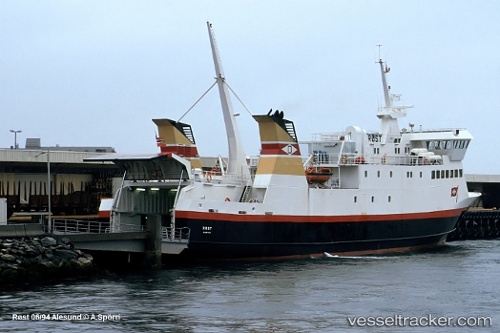
Vessel BALDUR IMO: 9035709, MMSI: 251612110 Ro-Ro/Passenger Ship
UTC, 65.07955, -22.72613, course: 94, speed: 0
UTC, 65.07956, -22.72621, course: 94, speed: 0
2026-02-25 13:36:19 UTC, 65.07955, -22.72615, course: 94, speed: 0
Live AIS position:
UTC. Near STYKKISHOLMUR),
updated 2026-02-25 13:36:19 UTC.
Find the position of the vessel BALDUR on the map. The latter are known coordinates and path.
marine traffic ship tracker show on live map
The current position of vessel BALDUR is 65.07955 lat / -22.72615 lng. Updated: 2026-02-25 13:36:19 UTCDetails:
Last coordinates of the vessel:
UTC, 65.07952, -22.72629, course: 94, speed: 0UTC, 65.07955, -22.72613, course: 94, speed: 0
UTC, 65.07956, -22.72621, course: 94, speed: 0
2026-02-25 13:36:19 UTC, 65.07955, -22.72615, course: 94, speed: 0