 vesseltracker.com
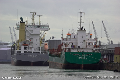
Vessel Cuera IMO: 9360489, MMSI: 255803360 General Cargo Ship
UTC, 36.70833, 13.96500, course: -1, speed: 8
UTC, 36.67150, 14.22726, course: 104, speed: 8.8
2026-02-14 01:57:09 UTC, 36.60667, 14.63167, course: -1, speed: 10
Live AIS position:
UTC. 11 nm S of Marina di Ragusa),
updated 2026-02-14 01:57:09 UTC.
Find the position of the vessel Cuera on the map. The latter are known coordinates and path.
marine traffic ship tracker show on live map
The current position of vessel Cuera is 36.60667 lat / 14.63167 lng. Updated: 2026-02-14 01:57:09 UTCCurrently sailing under the flag of Portugal
Cuera built in 2008 year
Deadweight:
4671 tDetails:
Last coordinates of the vessel:
UTC, 36.76081, 13.57541, course: 89, speed: 8.4UTC, 36.70833, 13.96500, course: -1, speed: 8
UTC, 36.67150, 14.22726, course: 104, speed: 8.8
2026-02-14 01:57:09 UTC, 36.60667, 14.63167, course: -1, speed: 10