 vesseltracker.com
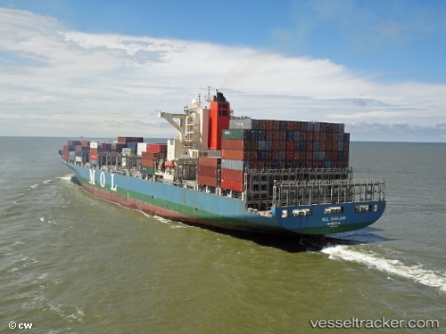
Vessel Mol Garland IMO: 9535151, MMSI: 255805590 Container Ship
UTC, 18.94807, 72.94070, course: 219, speed: 0
UTC, 18.94811, 72.94073, course: 219, speed: 0
2026-02-23 20:12:06 UTC, 18.94808, 72.94071, course: 219, speed: 0
Live AIS position:
UTC. Near NHAVA SHEVA),
updated 2026-02-23 20:12:06 UTC.
Find the position of the vessel Mol Garland on the map. The latter are known coordinates and path.
marine traffic ship tracker show on live map
The current position of vessel Mol Garland is 18.94808 lat / 72.94071 lng. Updated: 2026-02-23 20:12:06 UTCCurrently sailing under the flag of Portugal
Mol Garland built in 2011 year
Deadweight:
71409 tDetails:
Last coordinates of the vessel:
UTC, 18.94807, 72.94073, course: 219, speed: 0UTC, 18.94807, 72.94070, course: 219, speed: 0
UTC, 18.94811, 72.94073, course: 219, speed: 0
2026-02-23 20:12:06 UTC, 18.94808, 72.94071, course: 219, speed: 0