 vesseltracker.com
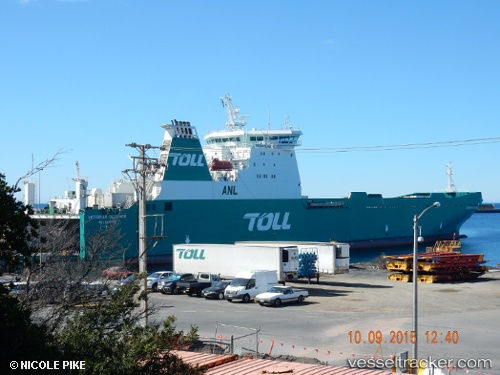
Vessel JOLLY BLUE IMO: 9180205, MMSI: 255806056 Ro-Ro Cargo Ship
UTC, 44.40725, 8.88338, course: 170, speed: 0
UTC, 44.40725, 8.88337, course: 171, speed: 0
2026-02-22 07:45:50 UTC, 44.40726, 8.88339, course: 171, speed: 0
Live AIS position:
UTC. Near Sestri Ponente),
updated 2026-02-22 07:45:50 UTC.
Find the position of the vessel JOLLY BLUE on the map. The latter are known coordinates and path.
marine traffic ship tracker show on live map
The current position of vessel JOLLY BLUE is 44.40726 lat / 8.88339 lng. Updated: 2026-02-22 07:45:50 UTCCurrently sailing under the flag of Portugal (MAR)
JOLLY BLUE built in 1999 year
Deadweight:
11203 tDetails:
Last coordinates of the vessel:
UTC, 44.40725, 8.88338, course: 171, speed: 0UTC, 44.40725, 8.88338, course: 170, speed: 0
UTC, 44.40725, 8.88337, course: 171, speed: 0
2026-02-22 07:45:50 UTC, 44.40726, 8.88339, course: 171, speed: 0