 vesseltracker.com
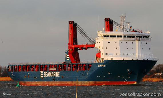
Vessel Zea Frontier IMO: 9789685, MMSI: 255806187 Multi Purpose Carrier
UTC, 35.35500, -12.47500, course: -1, speed: 13
UTC, 35.69500, -12.34167, course: -1, speed: 13
2026-02-01 08:03:41 UTC, 36.18167, -12.05833, course: -1, speed: 14
Live AIS position:
UTC. 136 nm SW of Los Ramos),
updated 2026-02-01 08:03:41 UTC.
Find the position of the vessel Zea Frontier on the map. The latter are known coordinates and path.
marine traffic ship tracker show on live map
The current position of vessel Zea Frontier is 36.18167 lat / -12.05833 lng. Updated: 2026-02-01 08:03:41 UTCDetails:
Last coordinates of the vessel:
UTC, 34.87464, -12.68246, course: 19, speed: 12.8UTC, 35.35500, -12.47500, course: -1, speed: 13
UTC, 35.69500, -12.34167, course: -1, speed: 13
2026-02-01 08:03:41 UTC, 36.18167, -12.05833, course: -1, speed: 14