 vesseltracker.com
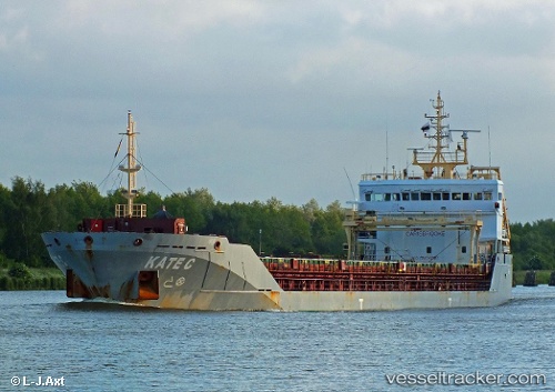
Vessel KATE C IMO: 9523964, MMSI: 255806309 General Cargo Ship
UTC, 56.72167, -2.39333, course: -1, speed: 0
UTC, 56.72235, -2.39286, course: 199, speed: 0
2026-02-28 20:24:19 UTC, 56.72041, -2.39327, course: 327, speed: 0
Live AIS position:
UTC. Near Montrose),
updated 2026-02-28 20:24:19 UTC.
Find the position of the vessel KATE C on the map. The latter are known coordinates and path.
marine traffic ship tracker show on live map
The current position of vessel KATE C is 56.72041 lat / -2.39327 lng. Updated: 2026-02-28 20:24:19 UTCCurrently sailing under the flag of Portugal (MAR)
KATE C built in 2010 year
Deadweight:
6795 tDetails:
Last coordinates of the vessel:
UTC, 56.72167, -2.39500, course: -1, speed: 0UTC, 56.72167, -2.39333, course: -1, speed: 0
UTC, 56.72235, -2.39286, course: 199, speed: 0
2026-02-28 20:24:19 UTC, 56.72041, -2.39327, course: 327, speed: 0