 vesseltracker.com
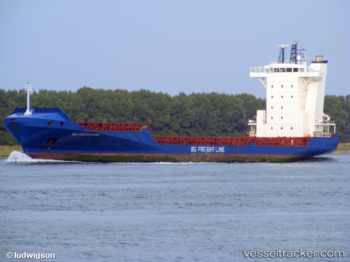
Vessel DIANA B IMO: 9344239, MMSI: 255806398 Container Ship
UTC, 31.67167, -13.89333, course: -1, speed: 16
UTC, 31.92394, -13.79322, course: 20, speed: 15.9
2026-02-24 19:39:15 UTC, 32.47260, -13.55608, course: 17, speed: 15.2
Live AIS position:
UTC. 138 nm SW of Jarjis),
updated 2026-02-24 19:39:15 UTC.
Find the position of the vessel DIANA B on the map. The latter are known coordinates and path.
marine traffic ship tracker show on live map
The current position of vessel DIANA B is 32.47260 lat / -13.55608 lng. Updated: 2026-02-24 19:39:15 UTCCurrently sailing under the flag of Portugal
Details:
Last coordinates of the vessel:
UTC, 31.13243, -14.12821, course: 19, speed: 16.1UTC, 31.67167, -13.89333, course: -1, speed: 16
UTC, 31.92394, -13.79322, course: 20, speed: 15.9
2026-02-24 19:39:15 UTC, 32.47260, -13.55608, course: 17, speed: 15.2