 vesseltracker.com
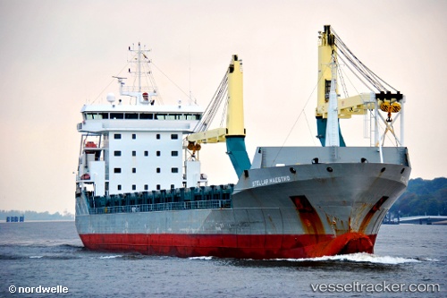
Vessel ARA ROTTERDAM IMO: 9549566, MMSI: 255915572 General Cargo
UTC, 38.94866, 117.75705, course: 109, speed: 0
UTC, 38.91212, 117.90170, course: 123, speed: 11.5
2026-02-25 11:23:54 UTC, 38.77663, 118.23911, course: 111, speed: 12.3
Live AIS position:
UTC. 11 nm SE of Taku Bar),
updated 2026-02-25 11:23:54 UTC.
Find the position of the vessel ARA ROTTERDAM on the map. The latter are known coordinates and path.
marine traffic ship tracker show on live map
The current position of vessel ARA ROTTERDAM is 38.77663 lat / 118.23911 lng. Updated: 2026-02-25 11:23:54 UTCCurrently sailing under the flag of Portugal
Details:
Last coordinates of the vessel:
UTC, 38.94866, 117.75708, course: -1, speed: 0UTC, 38.94866, 117.75705, course: 109, speed: 0
UTC, 38.91212, 117.90170, course: 123, speed: 11.5
2026-02-25 11:23:54 UTC, 38.77663, 118.23911, course: 111, speed: 12.3