 vesseltracker.com
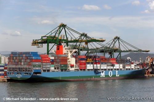
Vessel ESL KABIR IMO: 9535175, MMSI: 255915641 Container Ship
UTC, 35.07736, 128.79150, course: 269, speed: 0
UTC, 35.07736, 128.79150, course: 269, speed: 0
2026-02-27 17:27:38 UTC, 35.07733, 128.79143, course: 269, speed: 0
Live AIS position:
UTC. Near BUSAN NEW PORT),
updated 2026-02-27 17:27:38 UTC.
Find the position of the vessel ESL KABIR on the map. The latter are known coordinates and path.
marine traffic ship tracker show on live map
The current position of vessel ESL KABIR is 35.07733 lat / 128.79143 lng. Updated: 2026-02-27 17:27:38 UTCCurrently sailing under the flag of Portugal
Details:
Last coordinates of the vessel:
UTC, 34.96720, 128.81987, course: 344, speed: 6.7UTC, 35.07736, 128.79150, course: 269, speed: 0
UTC, 35.07736, 128.79150, course: 269, speed: 0
2026-02-27 17:27:38 UTC, 35.07733, 128.79143, course: 269, speed: 0