 vesseltracker.com
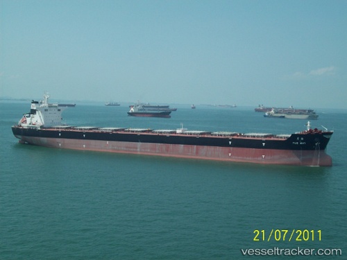
Vessel ALMERA IMO: 9492206, MMSI: 255915766 Cargo
UTC, 26.18903, 50.68930, course: 334, speed: 0
UTC, 26.18902, 50.68927, course: 334, speed: 0
2026-02-23 07:50:08 UTC, 26.18900, 50.68929, course: 334, speed: 0
Live AIS position:
UTC. Near KHALIFA BIN SALMAN),
updated 2026-02-23 07:50:08 UTC.
Find the position of the vessel ALMERA on the map. The latter are known coordinates and path.
marine traffic ship tracker show on live map
The current position of vessel ALMERA is 26.18900 lat / 50.68929 lng. Updated: 2026-02-23 07:50:08 UTCCurrently sailing under the flag of Portugal
Details:
Last coordinates of the vessel:
UTC, 26.18902, 50.68927, course: 334, speed: 0UTC, 26.18903, 50.68930, course: 334, speed: 0
UTC, 26.18902, 50.68927, course: 334, speed: 0
2026-02-23 07:50:08 UTC, 26.18900, 50.68929, course: 334, speed: 0