 vesseltracker.com
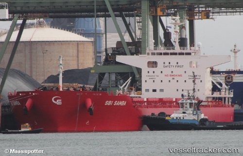
Vessel S SAMBA IMO: 9712486, MMSI: 255915963 Cargo
UTC, 47.35550, -21.97894, course: 236, speed: 9.1
UTC, 47.17623, -22.37008, course: 235, speed: 8.8
2026-02-25 16:18:45 UTC, 46.92704, -22.86009, course: 235, speed: 8.6
Live AIS position:
UTC. 104 nm NE of Romas),
updated 2026-02-25 16:18:45 UTC.
Find the position of the vessel S SAMBA on the map. The latter are known coordinates and path.
marine traffic ship tracker show on live map
The current position of vessel S SAMBA is 46.92704 lat / -22.86009 lng. Updated: 2026-02-25 16:18:45 UTCCurrently sailing under the flag of Portugal
Details:
Last coordinates of the vessel:
UTC, 47.41992, -21.81533, course: 242, speed: 7.8UTC, 47.35550, -21.97894, course: 236, speed: 9.1
UTC, 47.17623, -22.37008, course: 235, speed: 8.8
2026-02-25 16:18:45 UTC, 46.92704, -22.86009, course: 235, speed: 8.6