 vesseltracker.com
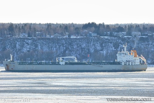
Vessel EAST COAST IMO: 9298703, MMSI: 255916038 Oil/Chemical Tanker
UTC, 28.98346, -14.72034, course: -1, speed: 9.5
UTC, 29.25341, -14.51006, course: 27, speed: 9.9
2026-02-28 05:37:02 UTC, 29.53224, -14.28530, course: 44, speed: 9.1
Live AIS position:
UTC. 45 nm NW of Yaiza),
updated 2026-02-28 05:37:02 UTC.
Find the position of the vessel EAST COAST on the map. The latter are known coordinates and path.
marine traffic ship tracker show on live map
The current position of vessel EAST COAST is 29.53224 lat / -14.28530 lng. Updated: 2026-02-28 05:37:02 UTCCurrently sailing under the flag of Portugal
Details:
Last coordinates of the vessel:
UTC, 28.75361, -14.89939, course: 36, speed: 9.4UTC, 28.98346, -14.72034, course: -1, speed: 9.5
UTC, 29.25341, -14.51006, course: 27, speed: 9.9
2026-02-28 05:37:02 UTC, 29.53224, -14.28530, course: 44, speed: 9.1