 vesseltracker.com
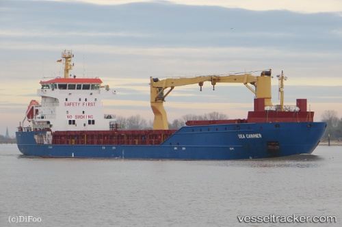
Vessel SEA CARRIER IMO: 9366122, MMSI: 255916042 General Cargo
UTC, 50.89225, 1.44621, course: 20, speed: 10
UTC, 51.12198, 1.76749, course: 59, speed: 9.3
2026-02-25 14:18:07 UTC, 51.37948, 2.13515, course: 10, speed: 10.8
Live AIS position:
UTC. 22 nm NW of Dunkerque),
updated 2026-02-25 14:18:07 UTC.
Find the position of the vessel SEA CARRIER on the map. The latter are known coordinates and path.
marine traffic ship tracker show on live map
The current position of vessel SEA CARRIER is 51.37948 lat / 2.13515 lng. Updated: 2026-02-25 14:18:07 UTCCurrently sailing under the flag of Portugal
Details:
Last coordinates of the vessel:
UTC, 50.55296, 1.10060, course: 48, speed: 10.6UTC, 50.89225, 1.44621, course: 20, speed: 10
UTC, 51.12198, 1.76749, course: 59, speed: 9.3
2026-02-25 14:18:07 UTC, 51.37948, 2.13515, course: 10, speed: 10.8