 vesseltracker.com
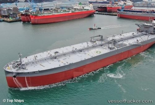
Vessel P. BEL AIR IMO: 9794056, MMSI: 255916595 Tanker
UTC, 27.25277, -15.26238, course: 181, speed: 13.8
UTC, 26.85893, -15.36592, course: -1, speed: 13.6
2026-02-27 04:16:16 UTC, 26.39932, -15.66963, course: 216, speed: 13.6
Live AIS position:
UTC. 81 nm S of PASITO BLANCO),
updated 2026-02-27 04:16:16 UTC.
Find the position of the vessel P. BEL AIR on the map. The latter are known coordinates and path.
marine traffic ship tracker show on live map
The current position of vessel P. BEL AIR is 26.39932 lat / -15.66963 lng. Updated: 2026-02-27 04:16:16 UTCCurrently sailing under the flag of Portugal
Details:
Last coordinates of the vessel:
UTC, 27.76122, -15.14897, course: 202, speed: 13.7UTC, 27.25277, -15.26238, course: 181, speed: 13.8
UTC, 26.85893, -15.36592, course: -1, speed: 13.6
2026-02-27 04:16:16 UTC, 26.39932, -15.66963, course: 216, speed: 13.6