.
vessel Ventura IMO: 9346756, Bulk Carrier
vesseltracker.com
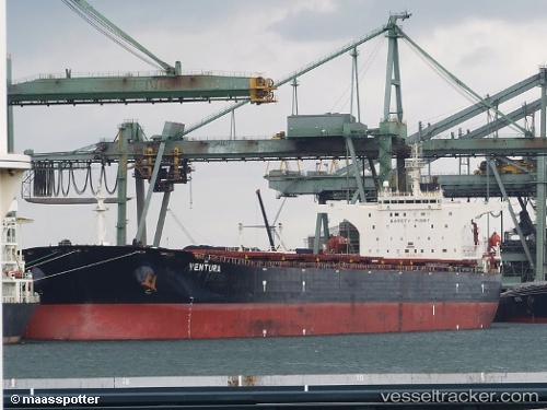
Vessel Ventura IMO: 9346756, MMSI: 256080000 Bulk Carrier

callsign: 9HKL8
size: 289x45

Live AIS position: UTC. 64 nm W of Jeddah), updated 2023-02-20 17:43:30 UTC.

Find the position of the vessel Ventura on the map. The latter are known coordinates and path.

marine traffic ship tracker show on live map

The current position of vessel Ventura is 21.30978 lat / 38.01743 lng. Updated: 2023-02-20 17:43:30 UTC

Currently sailing under the flag of Malta

Ventura built in 2006 year

Deadweight:
174316 t

Details:


Last coordinates of the vessel:
2023-02-20 17:43:30 UTC, 21.30978, 38.01743, course: 0, speed: 0


Most frequent ports a vessels calls at Ventura (256080000):

Port Said, traffic: 3
Canakkale, traffic: 2
Gelibolu, traffic: 2
Iskenderun, traffic: 2
Uskudar, traffic: 2
Istanbul, traffic: 2
Murmansk, traffic: 2
Ras Gharib, traffic: 2
Bur Ibrahim, traffic: 2
Sambu, traffic: 1
Flushing, traffic: 1
Singapore, traffic: 1
Tarragona, traffic: 1
Vlissingen, traffic: 1
Zeebrugge, traffic: 1

Link to the map:


Find another ship

Ventura (256080000) last ports (portcalls and passsages)

Port Said | 2022-12-26 17:08:18
Bur Ibrahim | 2022-12-26 08:18:24
Ras Gharib | 2022-12-24 18:03:37
Singapore | 2022-12-07 06:00:43
Saldanha Bay | 2022-09-19 19:36:08
Ras Gharib | 2022-06-26 04:08:46
Bur Ibrahim | 2022-06-25 19:20:27
Murmansk | 2022-06-03 04:52:40
Murmansk | 2022-05-30 04:36:28
Vlissingen | 2022-05-18 22:25:58
Zeebrugge | 2022-05-18 19:13:51
Port Etienne | 2022-05-10 07:38:25
Nouadhibou | 2022-05-07 13:11:08
Tarragona | 2022-04-13 15:30:58
Canakkale | 2022-04-08 15:45:02
Uskudar | 2022-03-13 06:40:00
Gelibolu | 2022-03-11 06:35:59
Iskenderun | 2022-02-21 03:25:08
Port Said | 2022-02-19 18:05:12