 vesseltracker.com
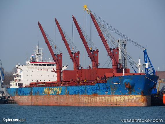
Vessel Peristil IMO: 9519626, MMSI: 256459000 Bulk Carrier
UTC, 31.39445, 32.29200, course: 317, speed: 0
UTC, 31.39438, 32.29185, course: 323, speed: 0.1
2026-02-26 20:22:01 UTC, 31.39435, 32.29180, course: 326, speed: 0
Live AIS position:
UTC. Near Port Said),
updated 2026-02-26 20:22:01 UTC.
Find the position of the vessel Peristil on the map. The latter are known coordinates and path.
marine traffic ship tracker show on live map
The current position of vessel Peristil is 31.39435 lat / 32.29180 lng. Updated: 2026-02-26 20:22:01 UTCCurrently sailing under the flag of Malta
Details:
Last coordinates of the vessel:
UTC, 31.39445, 32.29197, course: 320, speed: 0UTC, 31.39445, 32.29200, course: 317, speed: 0
UTC, 31.39438, 32.29185, course: 323, speed: 0.1
2026-02-26 20:22:01 UTC, 31.39435, 32.29180, course: 326, speed: 0