 vesseltracker.com
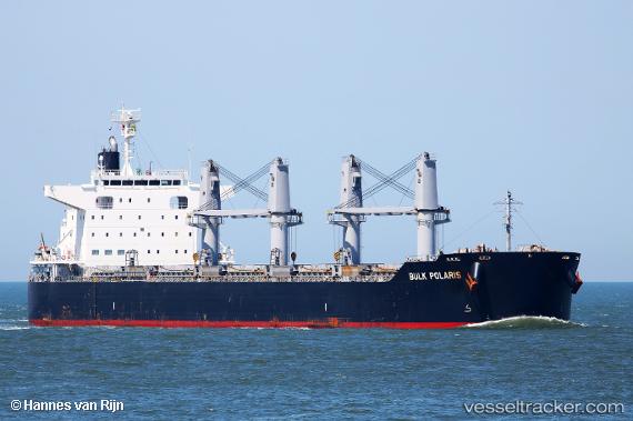
Vessel BELAFONTE IMO: 9791999, MMSI: 257117000 Cargo
UTC, 19.70667, -69.74667, course: -1, speed: 11
UTC, 19.50217, -69.33516, course: 118, speed: 11.6
2026-03-01 13:59:25 UTC, 19.32241, -69.00298, course: 124, speed: 11.2
Live AIS position:
UTC. 15 nm NE of Bahia De Samana),
updated 2026-03-01 13:59:25 UTC.
Find the position of the vessel BELAFONTE on the map. The latter are known coordinates and path.
marine traffic ship tracker show on live map
The current position of vessel BELAFONTE is 19.32241 lat / -69.00298 lng. Updated: 2026-03-01 13:59:25 UTCCurrently sailing under the flag of Norway
Details:
Last coordinates of the vessel:
UTC, 19.84667, -70.18833, course: -1, speed: 11UTC, 19.70667, -69.74667, course: -1, speed: 11
UTC, 19.50217, -69.33516, course: 118, speed: 11.6
2026-03-01 13:59:25 UTC, 19.32241, -69.00298, course: 124, speed: 11.2