 vesseltracker.com
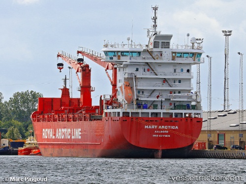
Vessel SILVER MARY IMO: 9311878, MMSI: 257221000 Cargo/Container Ship
UTC, 52.25595, 2.24067, course: 56, speed: 12.3
UTC, 52.44640, 3.04811, course: 81, speed: 11.9
2026-02-25 19:41:26 UTC, 52.50315, 3.41913, course: 80, speed: 12
Live AIS position:
UTC. 22 nm E of Craven Arms),
updated 2026-02-25 19:41:26 UTC.
Find the position of the vessel SILVER MARY on the map. The latter are known coordinates and path.
marine traffic ship tracker show on live map
The current position of vessel SILVER MARY is 52.50315 lat / 3.41913 lng. Updated: 2026-02-25 19:41:26 UTCCurrently sailing under the flag of Norway
Details:
Last coordinates of the vessel:
UTC, 52.09321, 1.80076, course: 56, speed: 11.7UTC, 52.25595, 2.24067, course: 56, speed: 12.3
UTC, 52.44640, 3.04811, course: 81, speed: 11.9
2026-02-25 19:41:26 UTC, 52.50315, 3.41913, course: 80, speed: 12