 vesseltracker.com
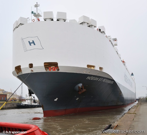
Vessel Hoegh St. Petersburg IMO: 9420045, MMSI: 257366000 Vehicles Carrier
UTC, 29.44630, 48.03213, course: 116, speed: 0
UTC, 29.44636, 48.03218, course: 128, speed: 0
2026-02-10 01:42:38 UTC, 29.44631, 48.03215, course: 137, speed: 0
Live AIS position:
UTC. Near Ra's al Ard),
updated 2026-02-10 01:42:38 UTC.
Find the position of the vessel Hoegh St. Petersburg on the map. The latter are known coordinates and path.
marine traffic ship tracker show on live map
The current position of vessel Hoegh St. Petersburg is 29.44631 lat / 48.03215 lng. Updated: 2026-02-10 01:42:38 UTCCurrently sailing under the flag of Norway
Hoegh St. Petersburg built in 2009 year
Deadweight:
21285 tDetails:
Last coordinates of the vessel:
UTC, 29.44636, 48.03227, course: 141, speed: 0UTC, 29.44630, 48.03213, course: 116, speed: 0
UTC, 29.44636, 48.03218, course: 128, speed: 0
2026-02-10 01:42:38 UTC, 29.44631, 48.03215, course: 137, speed: 0