 vesseltracker.com
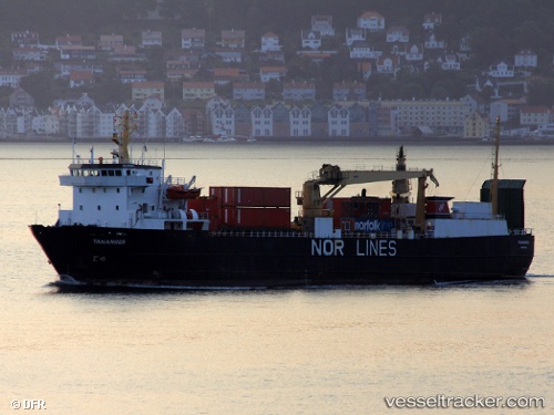
Vessel LINK POLARIS IMO: 7915541, MMSI: 257689000 Ro-Ro Cargo
UTC, 64.02815, -14.15180, course: 114, speed: 12.1
UTC, 63.89167, -13.45667, course: -1, speed: 12
2026-02-25 17:34:28 UTC, 63.72167, -12.59333, course: -1, speed: 11
Live AIS position:
UTC. 23 nm SE of Gardabaer),
updated 2026-02-25 17:34:28 UTC.
Find the position of the vessel LINK POLARIS on the map. The latter are known coordinates and path.
marine traffic ship tracker show on live map
The current position of vessel LINK POLARIS is 63.72167 lat / -12.59333 lng. Updated: 2026-02-25 17:34:28 UTCCurrently sailing under the flag of Norway
Details:
Last coordinates of the vessel:
UTC, 64.17336, -14.87248, course: 113, speed: 12.2UTC, 64.02815, -14.15180, course: 114, speed: 12.1
UTC, 63.89167, -13.45667, course: -1, speed: 12
2026-02-25 17:34:28 UTC, 63.72167, -12.59333, course: -1, speed: 11