 vesseltracker.com
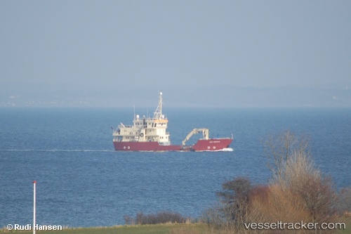
Vessel VESTLAND EXPLORER IMO: 9080950, MMSI: 257759000 Buoy/Lighthouse Vessel
UTC, 54.86690, 14.03685, course: 66, speed: 0.4
UTC, 54.86691, 14.03687, course: 66, speed: 0.2
2026-01-29 16:19:54 UTC, 54.86697, 14.03681, course: 78, speed: 0.3
Live AIS position:
UTC. 18 nm E of Neuendorf-Hiddensee),
updated 2026-01-29 16:19:54 UTC.
Find the position of the vessel VESTLAND EXPLORER on the map. The latter are known coordinates and path.
marine traffic ship tracker show on live map
The current position of vessel VESTLAND EXPLORER is 54.86697 lat / 14.03681 lng. Updated: 2026-01-29 16:19:54 UTCCurrently sailing under the flag of Norway (NIS)
VESTLAND EXPLORER built in 1994 year
Deadweight:
248 tDetails:
Last coordinates of the vessel:
UTC, 54.86686, 14.03680, course: 53, speed: 0.1UTC, 54.86690, 14.03685, course: 66, speed: 0.4
UTC, 54.86691, 14.03687, course: 66, speed: 0.2
2026-01-29 16:19:54 UTC, 54.86697, 14.03681, course: 78, speed: 0.3