 vesseltracker.com
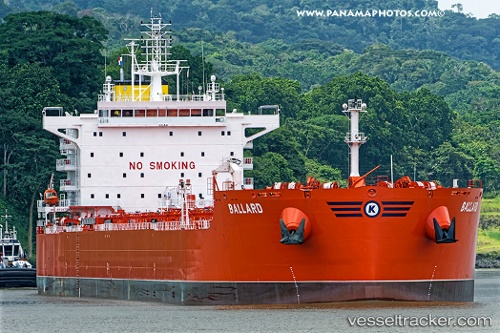
Vessel BALLARD IMO: 9729738, MMSI: 258032000 Tanker B
UTC, -27.42667, 113.44667, course: -1, speed: 12
UTC, -27.11630, 113.26709, course: 334, speed: 12.3
2026-02-26 15:26:19 UTC, -26.83833, 113.10833, course: -1, speed: 12
Live AIS position:
UTC. 140 nm NW of Webberton),
updated 2026-02-26 15:26:19 UTC.
Find the position of the vessel BALLARD on the map. The latter are known coordinates and path.
marine traffic ship tracker show on live map
The current position of vessel BALLARD is -26.83833 lat / 113.10833 lng. Updated: 2026-02-26 15:26:19 UTCCurrently sailing under the flag of Norway
Details:
Last coordinates of the vessel:
UTC, -27.86794, 113.69193, course: 334, speed: 12.2UTC, -27.42667, 113.44667, course: -1, speed: 12
UTC, -27.11630, 113.26709, course: 334, speed: 12.3
2026-02-26 15:26:19 UTC, -26.83833, 113.10833, course: -1, speed: 12