 vesseltracker.com
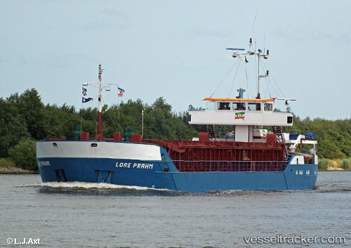
Vessel NYVING IMO: 8915902, MMSI: 259001560 General Cargo Ship
UTC, 59.32733, 5.38882, course: 189, speed: 0
UTC, 59.32732, 5.38885, course: 189, speed: 0
2026-02-25 03:55:31 UTC, 59.32732, 5.38881, course: 190, speed: 0
Live AIS position:
UTC. Near Gismarvik),
updated 2026-02-25 03:55:31 UTC.
Find the position of the vessel NYVING on the map. The latter are known coordinates and path.
marine traffic ship tracker show on live map
The current position of vessel NYVING is 59.32732 lat / 5.38881 lng. Updated: 2026-02-25 03:55:31 UTCCurrently sailing under the flag of Norway
NYVING built in 1989 year
Deadweight:
1323 tDetails:
Last coordinates of the vessel:
UTC, 59.31220, 5.38858, course: 354, speed: 9.9UTC, 59.32733, 5.38882, course: 189, speed: 0
UTC, 59.32732, 5.38885, course: 189, speed: 0
2026-02-25 03:55:31 UTC, 59.32732, 5.38881, course: 190, speed: 0