 vesseltracker.com
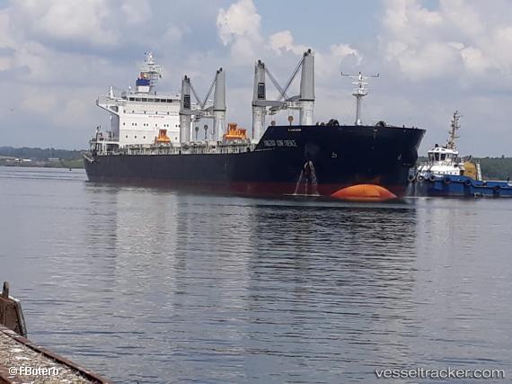
Vessel SPAR NORMA IMO: 9774850, MMSI: 259165000 Bulk Carrier
UTC, 27.27500, 124.36833, course: -1, speed: 11
UTC, 27.53500, 124.82833, course: -1, speed: 11
2026-02-14 20:22:08 UTC, 27.74833, 125.20167, course: -1, speed: 10
Live AIS position:
UTC. 116 nm NW of Kumejima),
updated 2026-02-14 20:22:08 UTC.
Find the position of the vessel SPAR NORMA on the map. The latter are known coordinates and path.
marine traffic ship tracker show on live map
The current position of vessel SPAR NORMA is 27.74833 lat / 125.20167 lng. Updated: 2026-02-14 20:22:08 UTCCurrently sailing under the flag of Norway (NIS)
SPAR NORMA built in 2017 year
Deadweight:
63165 tDetails:
Last coordinates of the vessel:
UTC, 27.10667, 124.06833, course: -1, speed: 11UTC, 27.27500, 124.36833, course: -1, speed: 11
UTC, 27.53500, 124.82833, course: -1, speed: 11
2026-02-14 20:22:08 UTC, 27.74833, 125.20167, course: -1, speed: 10